|
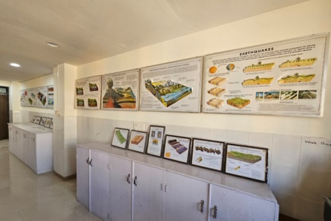
Landform models are physical models used to represent natural surface features of the earth.
- Show features like mountains, valleys, plateaus, plains, rivers, and folds
- Help students understand geomorphological processes such as erosion and deposition
- Useful for visualising terrain in engineering projects.
|